Day by day
Four paddling days, three nights, done a day ahead of plan. Distances are the
recorded GPS, camp numbers are the SEPAQ sites (our best read of the map). Tap
a photo to open the gallery.
1Jul 8
Put-in → Camp 1 · Lac Bastude (site 63-03)
15.2 km paddled3 portages + lots of liningCamp 1 · SEPAQ 63-03
Moving 3h35 · avg 4.2 km/h · max 7.1 km/h
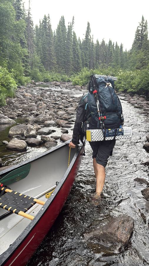
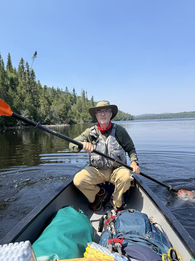
A hard, wet first day. A mix of rivers, streams and lakes, sun and a
following wind and then rain, with long stretches of wading the loaded canoe
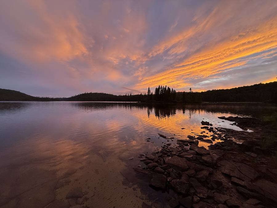
down shallow rock gardens. We reached the north camp drenched, set up the bug
net and tarp, and the sky paid us back with a rainbow and a full sunset.
2Jul 9
Camp 1 → Camp 2 · Lac Quenza (site 60-73)
25.9 km paddled7 portagesCamp 2 · SEPAQ 60-73
Moving 6h29 · avg 4.0 km/h · max 6.2 km/h
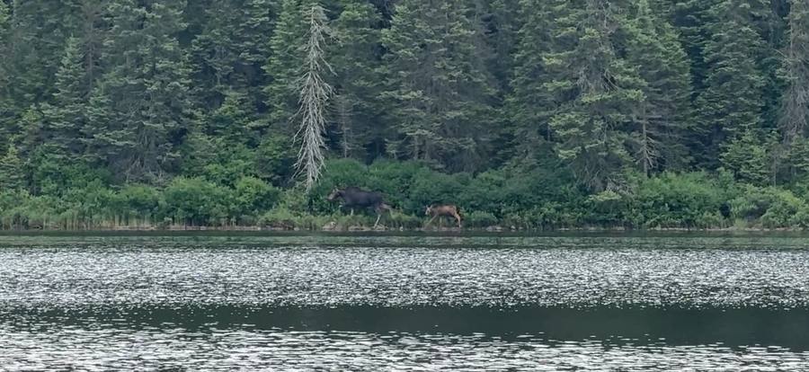
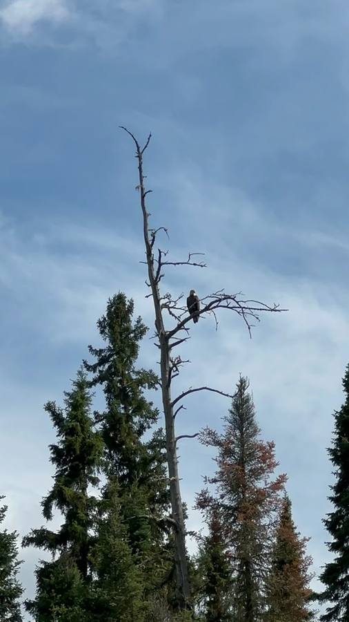
The sun came back. A long day down the eastern arm of the loop, from the
far north camp all the way to Lac Quenza, with a bald eagle watching from a
dead spruce along the way. Big open water, current mostly with us, and the
first dry evening of the trip.
3Jul 10
Camp 2 → Camp 3 · Lac Halloy (site 61-37)
32.5 km paddledBiggest day · 9 portagesCamp 3 · SEPAQ 61-37
Moving 7h38 · avg 4.3 km/h · max 6.6 km/h
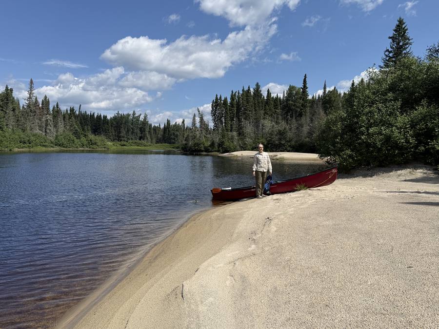
The longest day, and a good one. Sunny, current mostly in our direction,
nine portages over fallen trees and boulders, and a swim from a white sand
beach that felt earned. We carried the canoe uphill more than once, and
skipped one portage by pushing the loaded canoe straight up a rapid instead
of carrying around it. Camp that night was on a small island in the middle
of a lake.
4Jul 11
Camp 3 → take-out · one day early
7.7 km paddled1 portage + take-outTake-out · Lac Rousine
Moving 1h52 · avg 4.1 km/h · max 5.7 km/h
A short, quick last morning back to the put-in, one full day ahead of
schedule. One portage, then the final carry out to the parking lot. The black
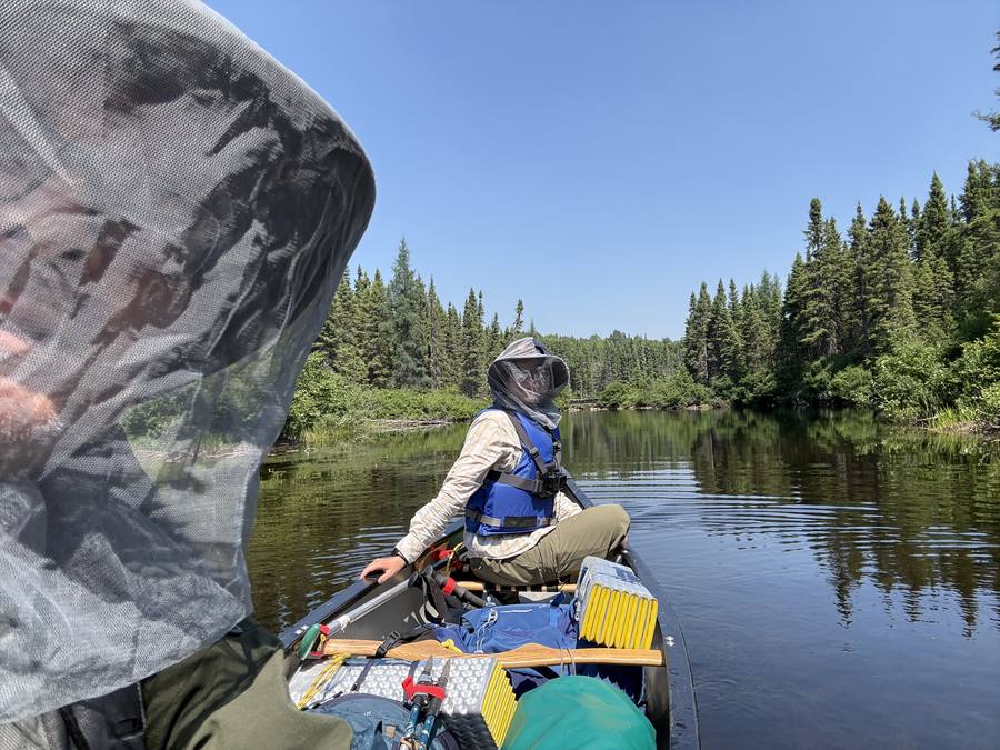
flies and mosquitoes were at their worst, so we finished in head nets. Bitten
to death, happy, and proud of the loop. It is marked advanced, and it is:
challenging canoeing, hard portages, and remote enough that no one is coming
to save you, unless you have a Garmin inReach.
By the numbers
81 km paddled over 4 days, 3 nights, one day
ahead of the 5-day plan. 20 portages plus the take-out carry.
About 19½ hours of moving time at a steady ~4 km/h
paddling pace (top speed 7.1 km/h on day one, with the wind behind us). The two
long days did the work: 25.9 km on day two, 32.5 km on day three. All figures are
from the GPS.
About the camps
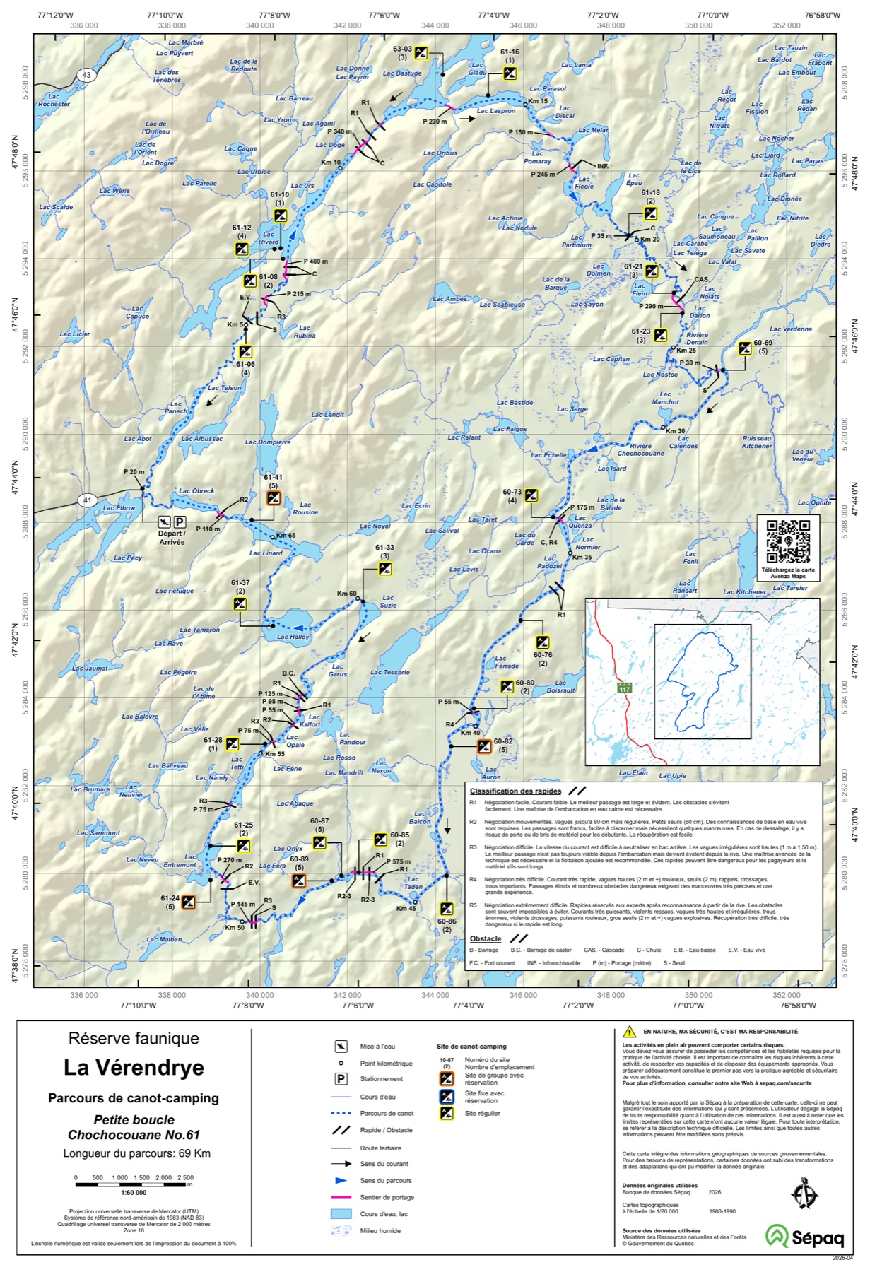
The permit for the Petite boucle Chochocouane n° 61, booked through the
SEPAQ canoe-camping page,
reserves the route and the nights on it; the wilderness sites themselves are
first-come. The three camp numbers above (63-03, 60-73, 61-37) are matched from
the official SEPAQ map to where the GPS track stopped each night. See the
gallery for the full set of photos, and the
journal for the dispatches sent from the water.